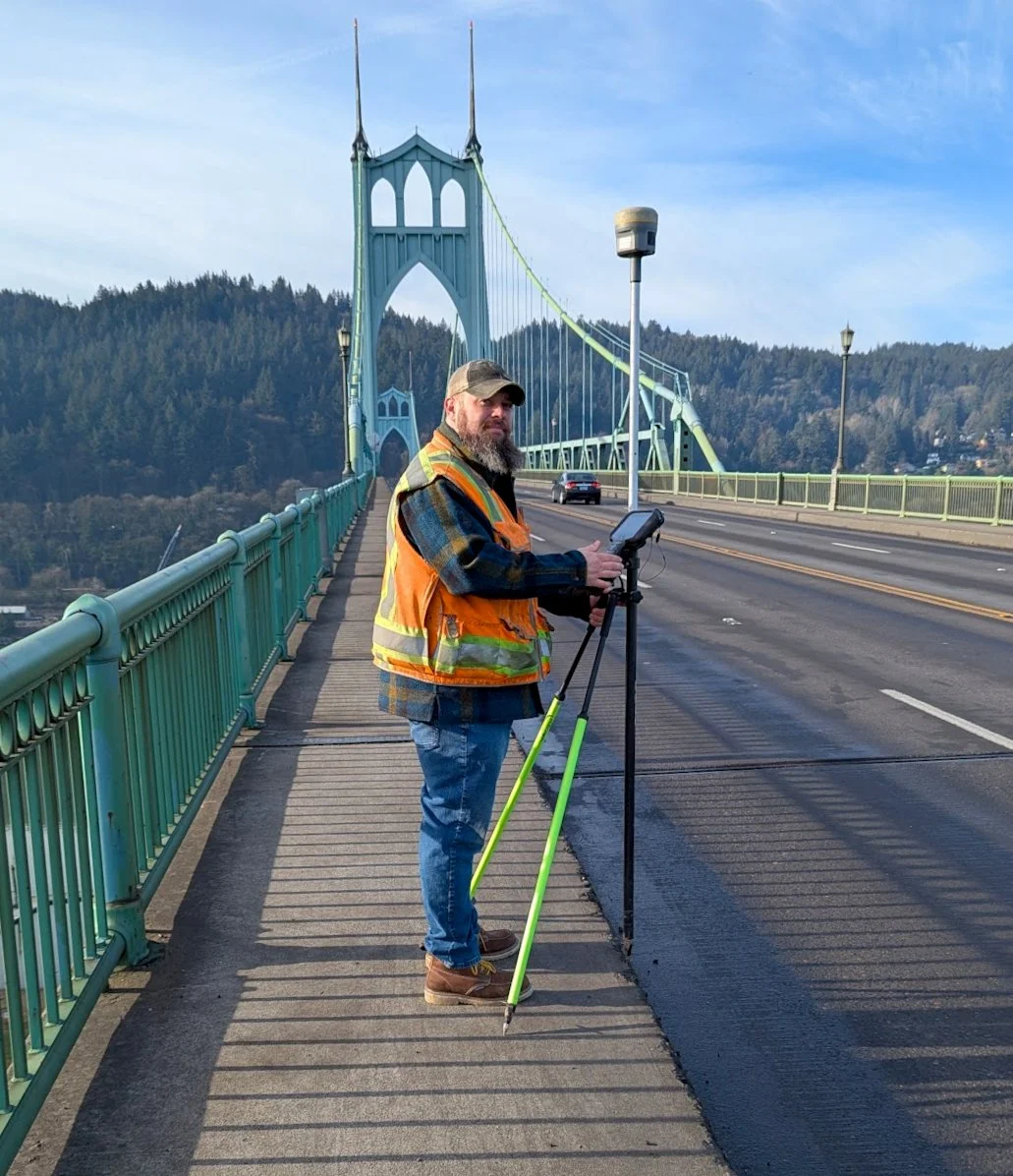
Commercial Surveying
Commercial projects demand precision. Town and Range Surveying delivers licensed, experienced land surveying for Oregon businesses, developers, and contractors—on time and on spec.
We provide the full range of commercial surveying services Oregon developers and contractors depend on:
Boundary Survey Establish or confirm the legal boundaries of your commercial property or development site.
Retracement Survey Re-establish existing boundaries from historical records—no new filing required.
ALTA/NSPS Land Title Survey The gold standard for commercial real estate transactions, meeting national standards for lenders and title companies.
Site Map Detailed documentation of existing site conditions for permitting, design, or development.
Topographic Survey Precise elevation and terrain mapping to support site planning, grading, and engineering.
Construction Staking On-site layout and staking to ensure your project is built exactly where it's designed to go.
As-Built Survey Document completed construction against original plans for compliance and record-keeping.
Easements & Right-of-Way Create, locate, or document easements and rights-of-way for access, utilities, and infrastructure.
Zoning & Compliance Survey support for zoning verification, setback confirmation, and regulatory compliance.
Environmental Site Mapping Spatial documentation for environmental assessments, wetlands, and sensitive area delineation.
Drone & Aerial Survey Efficient, high-resolution aerial data collection for large or complex sites.